


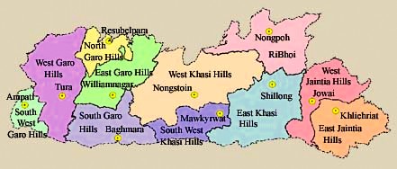
Districts in Meghalaya
| Location | Latitude 20°1' N and 26°5' N Longitude 85°49' E and 92°52' E |
|---|---|
| Area | 22,429 Sq. Km. |
| Population | 29,66,889 (As Per 2011 Census) |
| Capital | Shillong |
| Districts | 12 (Twelve) |
| C & RD Blocks | 55 (Fifty Five) |
| Literacy | 74.43 % |
| Density | 132 per Sq. Km. |
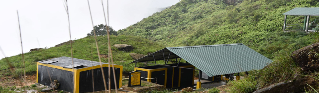
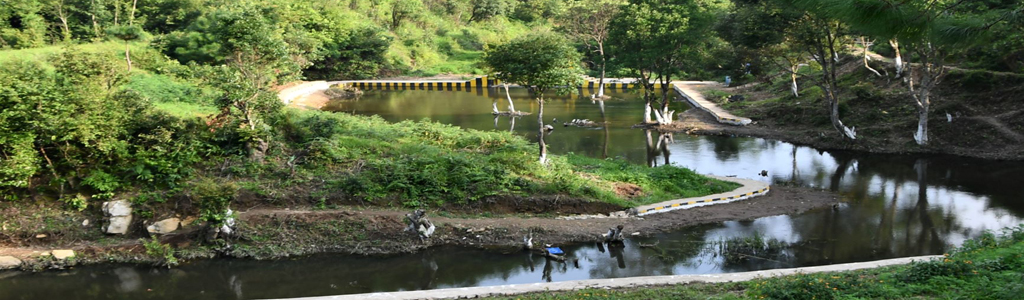
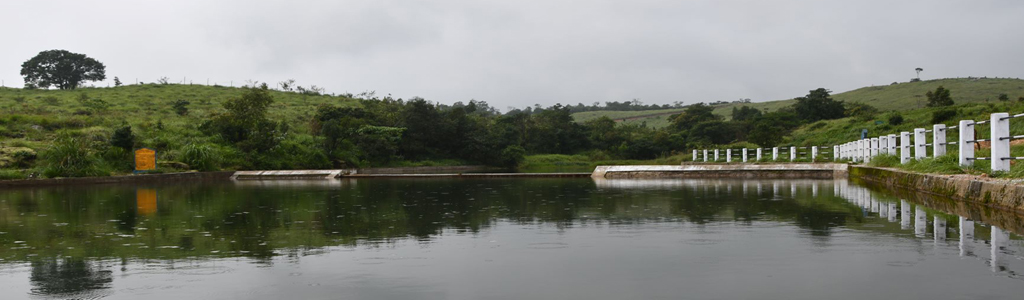
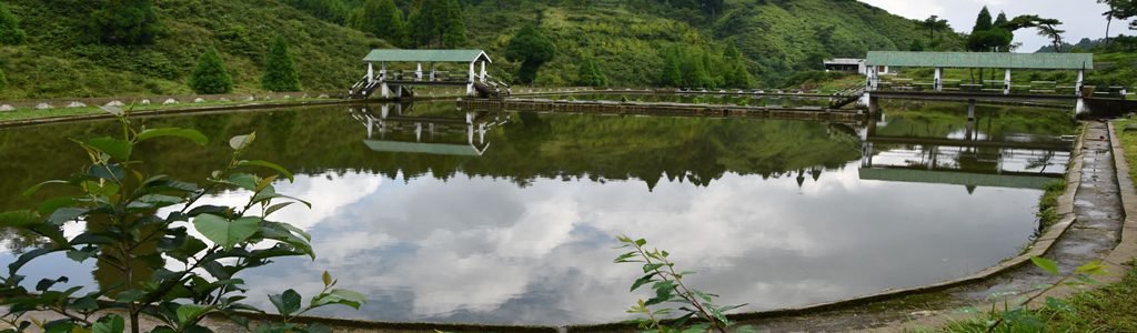
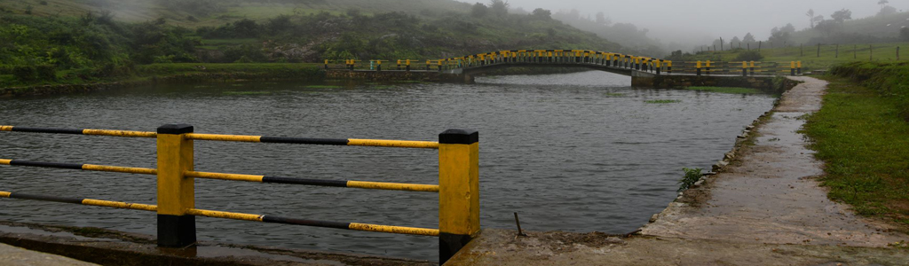
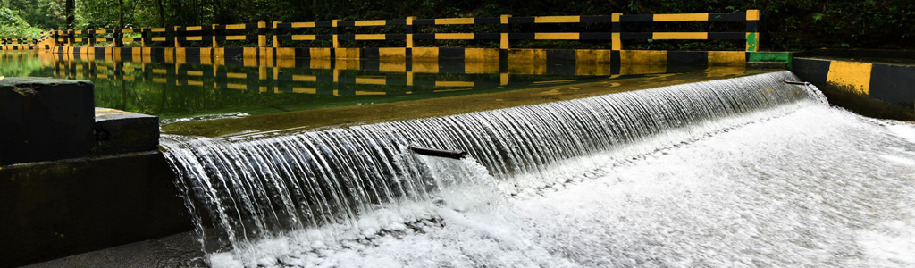
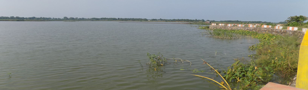
Tucked away in the hills of eastern sub-Himalayas is Meghalaya, one of the most beautiful State in the country. Nature has blessed her with abundant rainfall, sun-shine, virgin forests, high plateaus, tumbling waterfalls, crystal clear rivers, meandering streamlets and above all with sturdy, intelligent and hospitable people.
Emergence of Meghalaya as an Autonomous State on 2nd April 1970 and as a full-fledged State on 21st January 1972 marked the beginning of a new era of the geo-political history of North Eastern India. It also marked the triumph of peaceful democratic negotiations, mutual understanding and victory over violence and intrigue.
The State of Meghalaya is situated on the north east of India. It extends for about 300 kilometres in length and about 100 kilometres in breadth. It is bounded on the north by Goalpara, Kamrup and Nowgong districts, on the east by Karbi Anglong and North Cachar Hills districts, all of Assam, and on the south and west by Bangladesh.
Shillong, the capital of Meghalaya is located at an altitude of 1496 metres above sea level. Shillong, which was made Assam's capital in 1874, remained so till January 1972, following the formation of Meghalaya. The capital city derives its name from the manifestation of the creator called Shyllong.
| Serial Number | District Name | District Headquarter |
|---|---|---|
| 1 | Shillong |
|
| 2 | Nongstoin |
|
| 3 | Mawkyrwat |
|
| 4 | Nongpoh |
|
| 5 | Jowai |
|
| 6 | Khliehriat |
|
| 7 | Williamnagar |
|
| 8 | Tura |
|
| 9 | Resubelpara |
|
| 10 | Ampati |
|
| 11 | Baghmara |
|
| 12 | Eastern West Khasi Hills District | Mairang |